
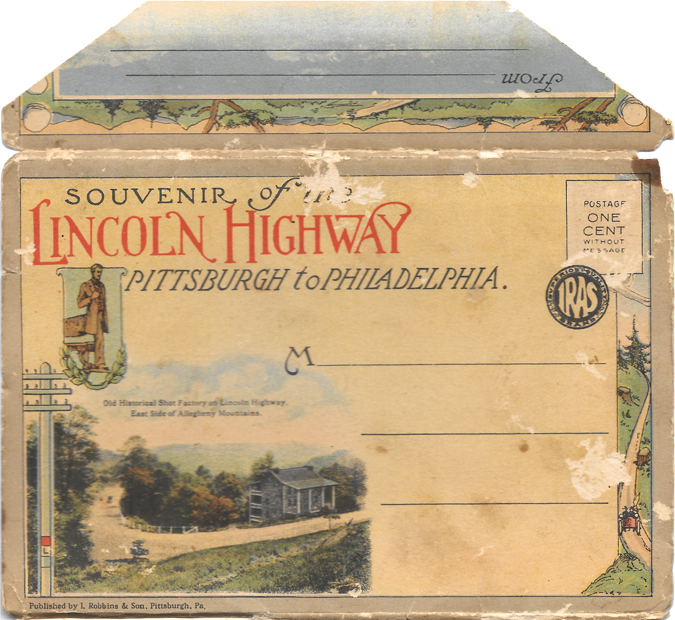

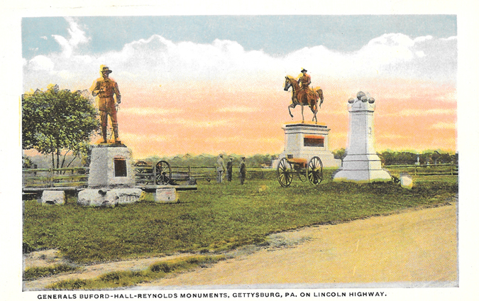
I knew Mark would enjoy this one, since he grew up right off of the Lincoln Highway (Route 30). The road crosses through Pennsylvania, but these first two are from right near his parents' house.

Nearly a century of development have radically changed the land, but the shape of the road has more or less remained the same. Mark was instantly able to explain to me where the pictures on these two postcards came from.
(Read more below.)
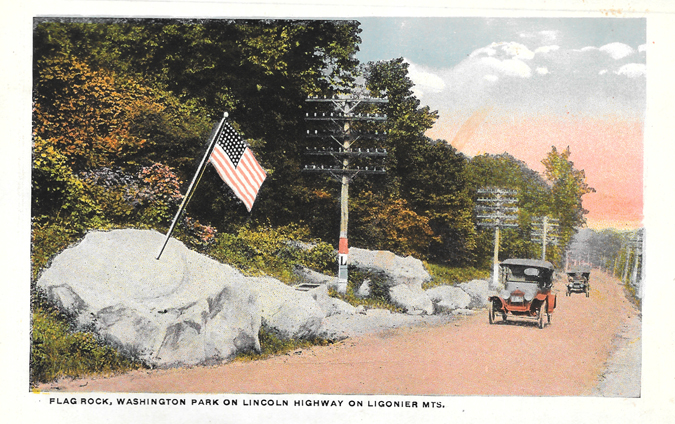

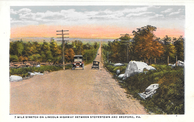
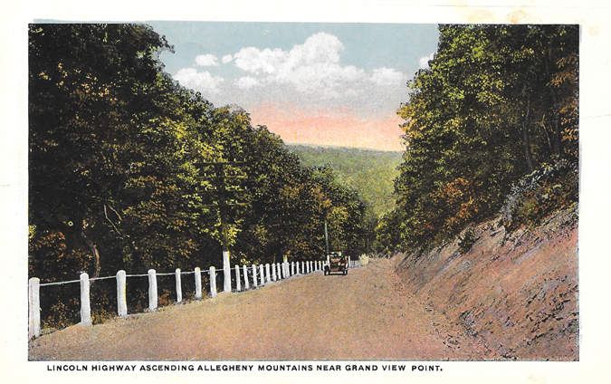

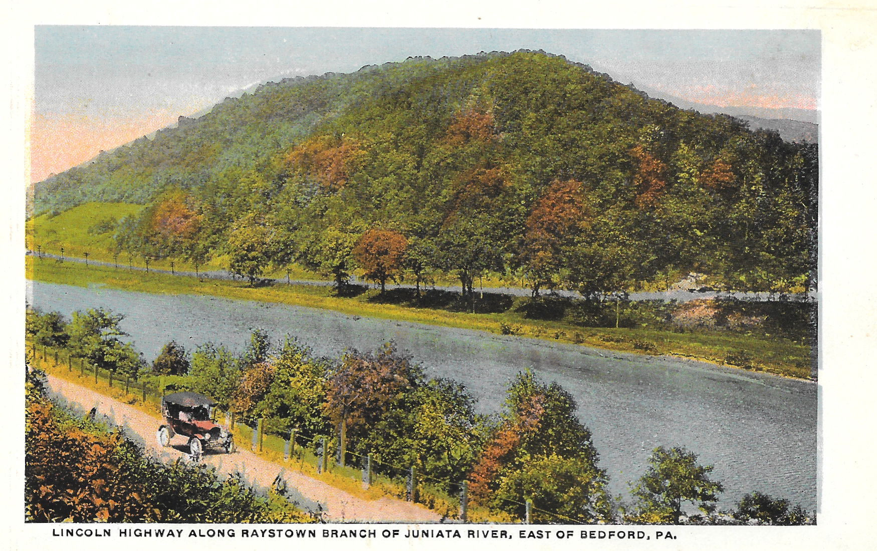


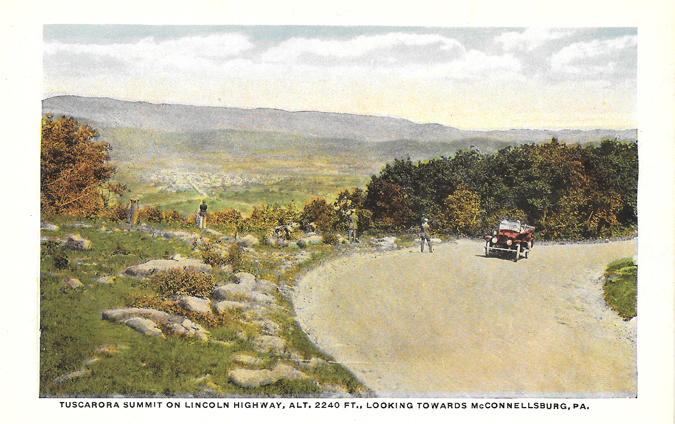
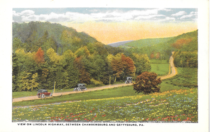
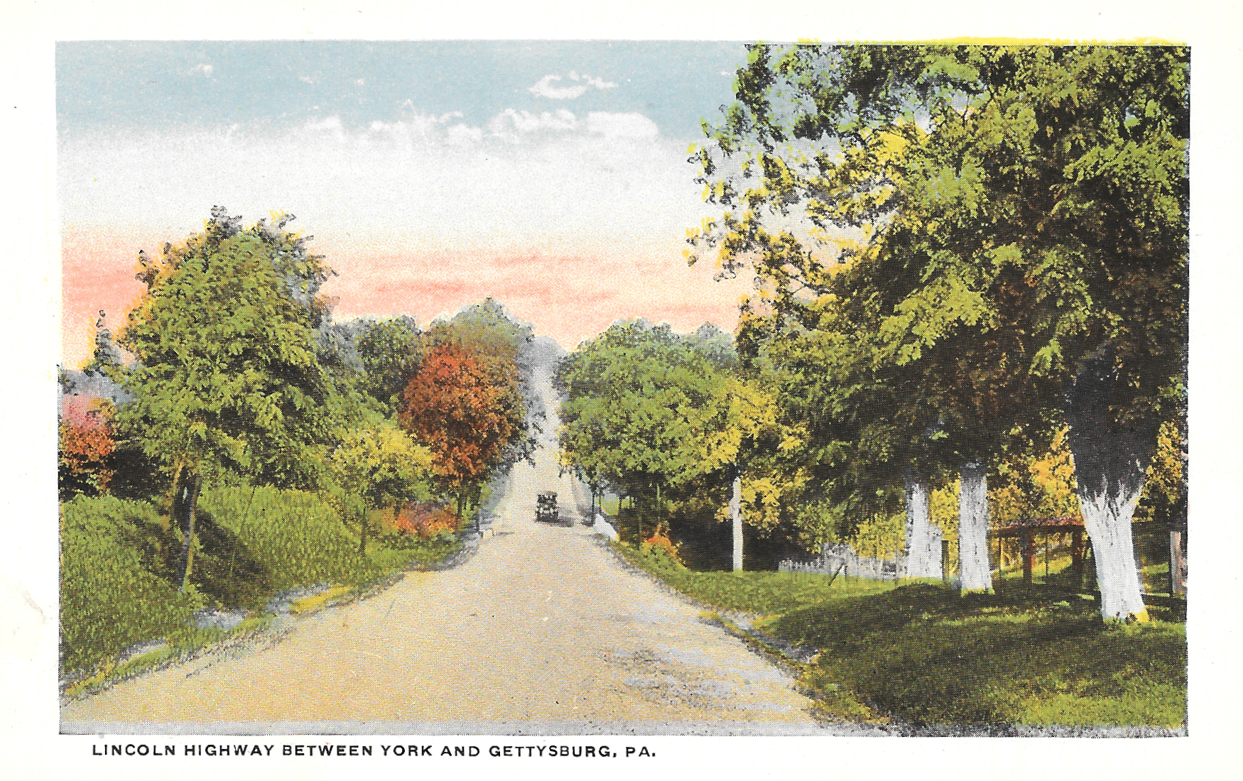
But not everything about the road has changed. Many of the beautiful scenic views driving through the state are still found along the highway. We're hoping to take a trip to Gettysburg sometime this year, which will take us directly along this route. Maybe we can even find some of the same views that are in these postcards.


The Lincoln Highway, which stretches from San Francisco to New York City, was dedicated in 1913, and remains a well-traveled historic route. Even Rick Sebak, a well-known Pittsburgh documentary filmmaker (essentially a local legend), made a movie about the highway a few years ago.
Judging from the looks of the cars in the postcards, I'm guessing this booklet was distributed within a few years of the highway being dedicated. Like some of the other postcard booklets I've collected, these cards are attached and two-sided, and accordion fold in and out.
But more than anything, what makes this collection most special for me is the fact that I'm familiar with several of these areas. I haven't driven the Lincoln Highway intentionally, per se, but I've driven small parts here in Pennsylvania and Ohio. Seeing how roads and landscapes change over time is always fascinating to me.
Another fun fact: Back in the day, it could take 30 days to travel the road from end to end.
According to the Association's 1916 Official Road Guide a trip from the Atlantic to the Pacific on the Lincoln Highway, to make it in 30 days the motorist would need to average 18 miles an hour for six hours per day, and driving was only done during daylight hours.
I can't imagine driving thousands of miles at 18 mph, but of course, it was a different time 100 years ago.
How do you think roads and landscapes where you've lived have changed over the past century?
The road to Gettysburg is gorgeous especially in the summer. Also did you know this is a bike route across PA?? A super hilly one.
ReplyDeleteHave you ever biked it? Sounds amazing. Although I would have to be training for a marathon or something before even thinking about attempting it. Ha.
DeleteThis is awesome! Route 30 goes right through my mom's backyard in Mountville, PA and the Columbia-Wrightsville bridge is only a few miles from her house :) The bridge looks pretty different now though!
ReplyDeleteI bet it looks different, or so I hope. I'm sure bridge technology has changed a lot over the past 100 years.
Delete