HOME           /           ABOUT           /           ETSY           /           CONTACT
Showing posts with label pennsylvania. Show all posts

Tuesday, November 11, 2014

Pennsylvania Prints

I went to State College (home of Penn State University) over the weekend to visit some college friends who are living there now. It was great to be able to spend time with people I don't get to see very much anymore. And weirdly enough, it was my first time visiting State College, even though it's only about a three-hour drive away.

My friend Lauren showed me around, and we explored the downtown area and checked out a few local wineries. We also went to a used bookstore downtown called Webster's, and I found this amazing Pennsylvania Prints book for 6 bucks!

I thought I'd share a few images from it:
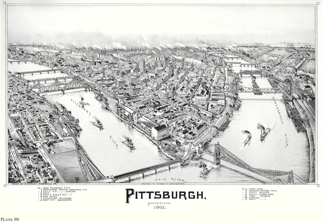
PAprints-pittsburgh

Lithograph, from 1902
Published by T.M. Fowler & James B. Moyer
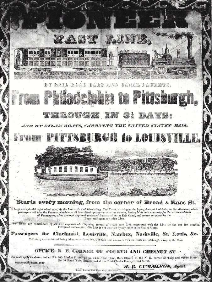
PAprints-pioneer

"The Pennsylvania Canal was built at a time when transportation was needed to connect communities across the eastern states. The western section of the Pennsylvania Canal, joining Johnstown and Pittsburgh, was completed in 1830. In 1832 the Juniata section was completed, and in 1834 the Allegheny Portage Railroad was put in service. The line was 300 miles long, cost $25 million to build, and was never profitable.

In 1842 Charles Dickens traveled on the Canal Packet from Harrisburg to Pittsburgh. His eyewitness account is told in his American Notes, published the following year."

Print on broadside, 1837
Printed by Young, Philadelphia
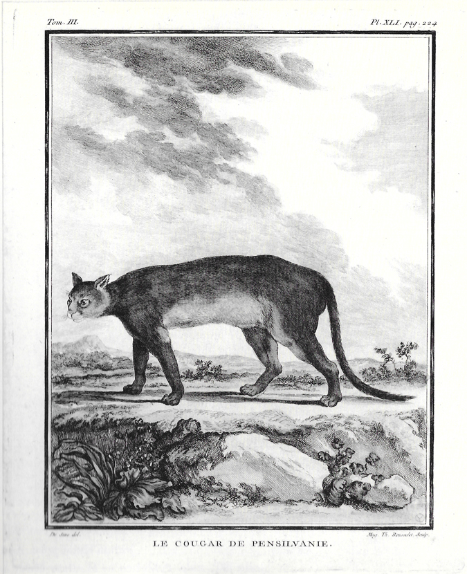
PAprints-panther

"The mountain lion of Pennsylvania, mascot of Penn State since 1908, has many names: puma, deer tiger, panther, cougar, and catamount, among others..."

Le Cougar de Pensilvanie
Engraving, circa 1787
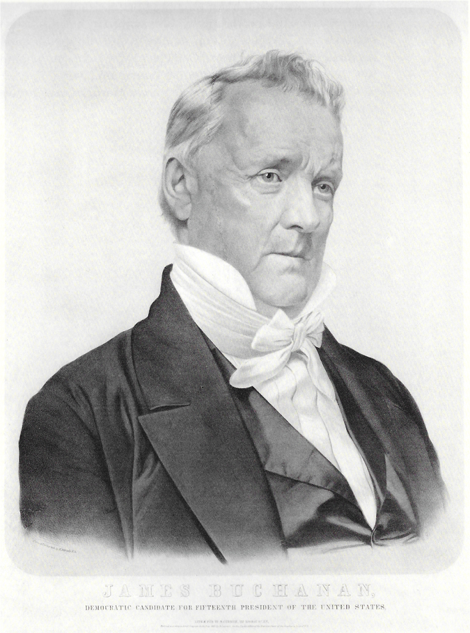
PAprints-buchanan

James Buchanan is the only U.S. president that's from Pennsylvania. I know I have an ancestor or two that were named after him.

Lithograph, from 1856
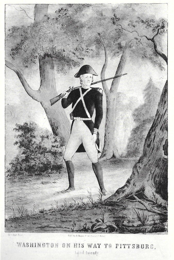
PAprints-washington

Lithograph, circa 1847

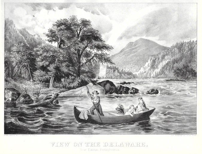
PAprints-viewofdelaware

This is just a snippet of some of the prints featured in the book, all from the mid 1800s to the early 1900s.

I'm glad I snatched this book up while I had the chance, not just because I've been such a sucker for local history lately, but also, because it looks like it's been out of print for awhile. It originally published in 1980, by the Penn State University Press, and the postcards, maps and photos had been used in a historical exhibition at the time. It had a little crease on the cover, so I guess that's how I was able to get the good deal. :)

In addition to Pittsburgh and Philadelphia, there were old maps and postcards of Johnstown, Williamsport, Lewisburg, Easton, among other towns throughout the state.

I think my favorite image, aside from the Pittsburgh map, of course, is the railroad advertisement, highlighting that a ride from Philly to Pittsburgh only takes 3 and a half days! Ha. The human race has come so far over the last 150 years.

The book is titled Pennsylvania Prints, from the Collection of John C. O'Connor and Ralph M. Yeager.

PS If you're local to Pittsburgh, don't forget to enter to win admission for two to the Pittsburgh Vintage Mixer! You can also read a Q&A I did with one of the event's founders, Bess Dunlevy. The giveaway ends on Friday night, and the mixer event is on Saturday, Nov. 22.

Tuesday, October 14, 2014

Horseshoe Curve

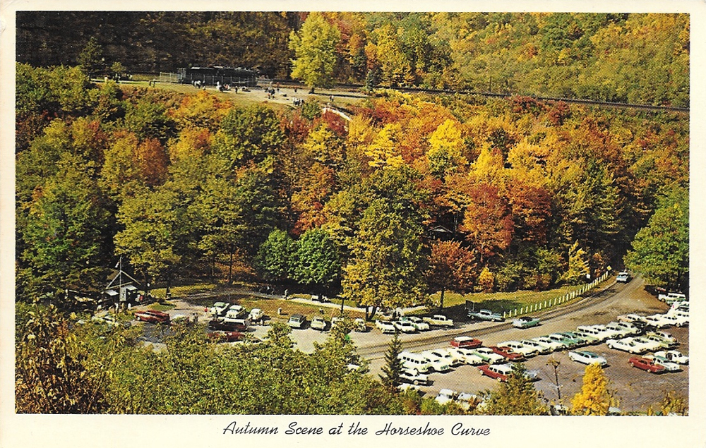
AltoonaCurvePostcard

According to RailRoadCity.com, when the Horseshoe Curve railroad track in Altoona, Pa. opened in 1854, it was a huge innovation for its time. Once the track opened, people could cross Pennsylvania at practically lightning speed: 15 hours!

Pennsylvania is a wide state, but you can probably drive from border to border in about 5 or 6 hours, present day.

As you can see, I did a little research for this postcard post. I know about the train track because it's local, and it's named after a minor baseball team in that town, but didn't know all of the details about why a railroad track that makes a 180 degree turn had so much fame.

The back of the postcard reads:

World famous Horseshoe Curve showing parking area visited by hundreds of tourists each year, Altoona, Pa.

Because of the topography in Western Pennsylvania being so hilly, traveling in the 1800s was very laborious, especially if trying to cross parts of the state with Appalachian Mountains.

I love the picturesque hills and trees of the region, but it still sometimes is a pain in the ass to get around. Haha. Pittsburgh is known not only for its bridges (rumor has it that Pittsburgh is home to more bridges than Florence, Italy), but for its tunnels and great scenic views, mostly because of the hills here.

I picked this postcard up in an antique shop last summer, I think, not far from where Altoona is located. I loved it because of the beautiful foliage; autumn is my favorite season. And the old cars in the photo are great. With the cars, my guess is the picture was probably taken in the late 1950s or early 1960s.

This is also the first postcard I decided to buy, eventually sparking this feature and my ridiculous postcard collection. We'll also be going through Altoona on an upcoming train trip Mark and I have planned. How exciting, right??

Are there any weird historical innovations that are known in your town or region?