HOME           /           ABOUT           /           ETSY           /           CONTACT
Showing posts with label pittsburgh postcards. Show all posts

Tuesday, May 5, 2015

Kennywood's Open

Potato Patch fries. The Thunderbolt. Community picnics. Noah's Ark. Pittsburgh's favorite amusement park, Kennywood, has been dazzling visitors for more than 115 years.

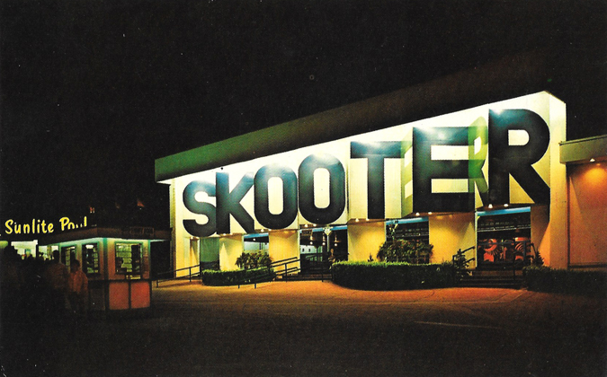
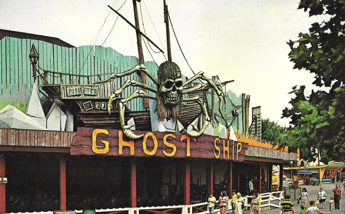
KennywoodGhostShip

KennywoodScooter

Along with most people who grew up in the area, Kennywood is a major source of nostalgia for my family. It was an annual trek growing up. My mom loved the Thunderbolt, a classic wooden coaster that goes off the track with a dip, thanks to the region's hilly terrain, and squeezes your sitting partner around each speeding curve. My dad would ride anything fast or scary, including the Steel Phantom, the park's only steel coaster. (It has since been replaced with Phantom's Revenge.)

During high school, I went there a little too much since I went to picnics and (as a band geek) usually marched in the Fall Festival parade there. Visiting about once a summer is plenty for me to get my Kennywood fill.

I recently found this pair of postcards during a flea market haul. I'm guessing these are from the 1960s, based on some of the outfits patrons are wearing in the Ghost Ship postcard.

It was kinda hard to nail down a time period initially, but after a little research I now know the Ghost Ship operated for only a short time, between 1966 and 1975, when the building it was housed in burnt to the ground from an electrical fire.

There is so much classic charm at Kennywood that's unmatched at most other modern amusement parks. Places like Cedar Point and Six Flags have the thrills, but Kennywood wins on its classics. There's a variety of wooden roller coasters, there's plenty of old rickety rides in the best way like The Whip, the Turtle and Noah's Ark, and delicious foods. The french fries and the square-shaped ice cream cone come to mind. Familiar with the movie Adventureland? Kennywood was the movie's primary set, and was a huge reason why I watched that movie on heavy rotation post-college.

The biggest downfall to the park is there's little room to physically expand, so each time the park announces a new ride, it usually means another ride has to be removed.

The Pitt Fall, one of my longtime favorite rides, fell victim to that a few years ago, and was removed and sold to another park in 2011. Mark's favorite ride at Kennywood, The Turnpike, met the same fate a year or two before the Pitt Fall. (However, park officials said at the time of removal they would likely revive The Turnpike at some point at a new location. That hasn't happened yet, to my knowledge.)

Other favorites of mine are still in existence: the wooden coasters, especially the Racer, the Log Jammer and the swings, which is perfect after a wet ride to dry off. Technically I don't think it's a ride, but I've done the Skycoaster a few times over the years, too.

And if you're a native, you know that the phrase "Kennywood's Open" has more than one meaning. ;) I once, in mid-winter, had a long, awkward conversation in elementary school about whether Kennywood was actually open. A few minutes went by until I realized my classmate was trying to tell me my fly was down. Haha.

The park is now open on weekends, and then opens full-time for summer beginning next weekend. Anyone have favorite Kennywood memories?

Tuesday, April 7, 2015

From Pittsburgh to Philly on the Lincoln Highway

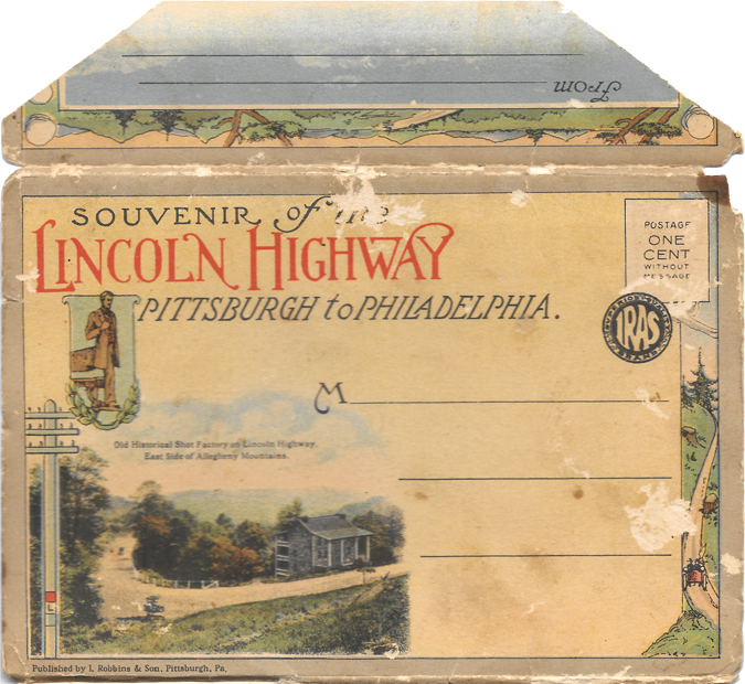
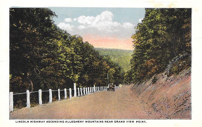
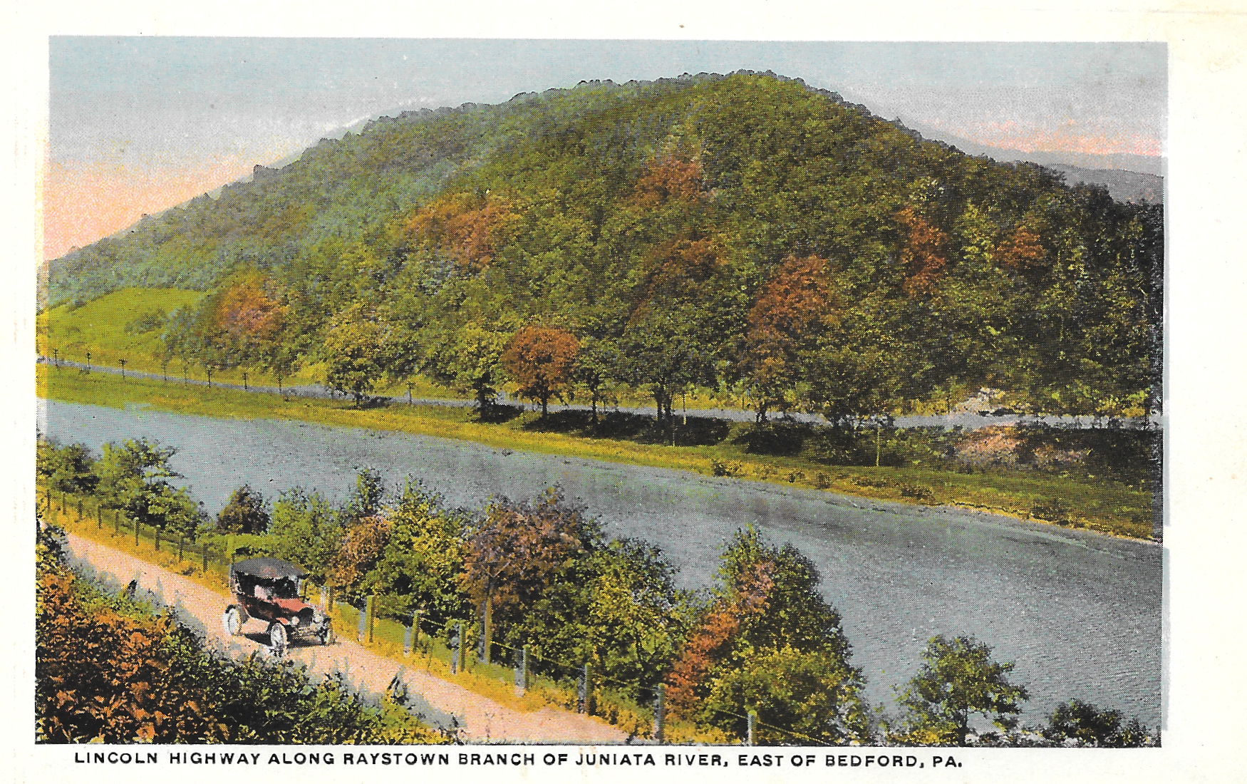
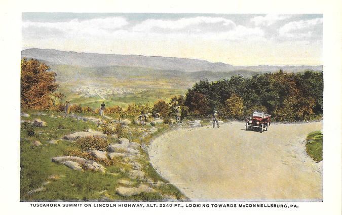
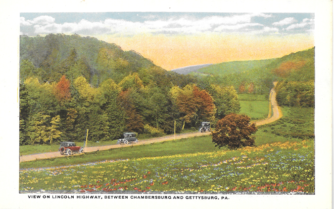
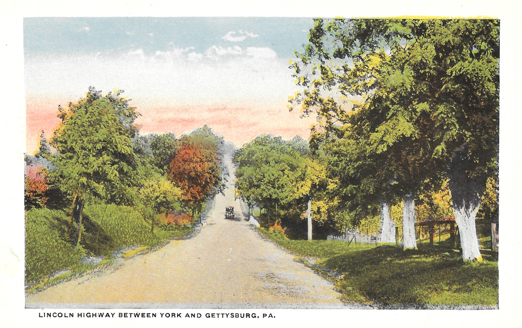
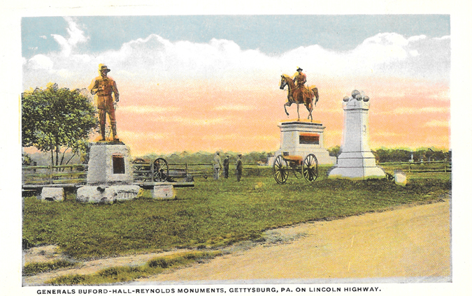
I found another little piece of American history at a nearby flea market. It cost me a dollar. The Lincoln Highway, the first coast-to-coast highway in the country, has a significant 324-mile leg in Pennsylvania.

Lincoln Highway top envelope
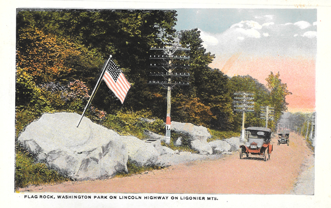
Lincoln Highway Postcards-1

I knew Mark would enjoy this one, since he grew up right off of the Lincoln Highway (Route 30).  The road crosses through Pennsylvania, but these first two are from right near his parents' house.

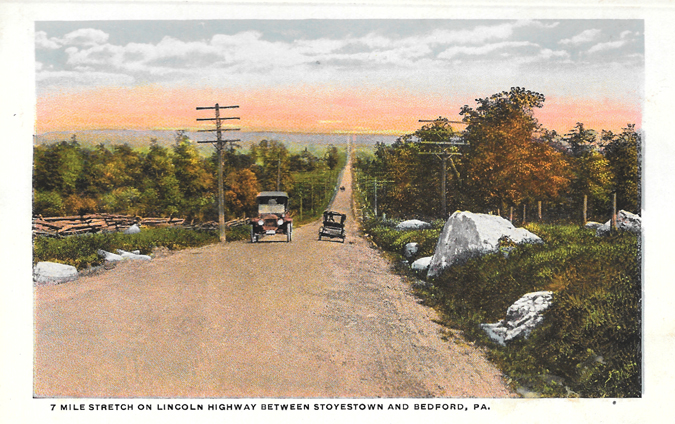
Lincoln Highway Postcards-2

Nearly a century of development have radically changed the land, but the shape of the road has more or less remained the same.  Mark was instantly able to explain to me where the pictures on these two postcards came from.

(Read more below.)

Lincoln Highway Postcards-3
Lincoln Highway Postcards-4

Lincoln Highway Postcards-5
Lincoln Highway Postcards-6

Lincoln Highway Postcards-7
Lincoln Highway Postcards-8
Lincoln Highway Postcards-9

Lincoln Highway Postcards-10
Lincoln Highway Postcards-11
Lincoln Highway Postcards-12
But not everything about the road has changed.  Many of the beautiful scenic views driving through the state are still found along the highway.  We're hoping to take a trip to Gettysburg sometime this year, which will take us directly along this route.  Maybe we can even find some of the same views that are in these postcards.
Lincoln Highway Postcards-13
Lincoln Highway Postcards-14
Lincoln Highway Postcards-15
Lincoln Highway Postcards-16
Lincoln Highway Postcards-17
Lincoln Highway Postcards-18

The Lincoln Highway, which stretches from San Francisco to New York City, was dedicated in 1913, and remains a well-traveled historic route. Even Rick Sebak, a well-known Pittsburgh documentary filmmaker (essentially a local legend), made a movie about the highway a few years ago.

Judging from the looks of the cars in the postcards, I'm guessing this booklet was distributed within a few years of the highway being dedicated. Like some of the other postcard booklets I've collected, these cards are attached and two-sided, and accordion fold in and out.

But more than anything, what makes this collection most special for me is the fact that I'm familiar with several of these areas. I haven't driven the Lincoln Highway intentionally, per se, but I've driven small parts here in Pennsylvania and Ohio. Seeing how roads and landscapes change over time is always fascinating to me.

Another fun fact: Back in the day, it could take 30 days to travel the road from end to end.

According to the Association's 1916 Official Road Guide a trip from the Atlantic to the Pacific on the Lincoln Highway, to make it in 30 days the motorist would need to average 18 miles an hour for six hours per day, and driving was only done during daylight hours.

I can't imagine driving thousands of miles at 18 mph, but of course, it was a different time 100 years ago.

How do you think roads and landscapes where you've lived have changed over the past century?
Tuesday, October 7, 2014

Souvenir of Pittsburgh, Penna

PittsburghIsCoolEnvelope

PittsburghIsCool1-McKeesRocksBridge

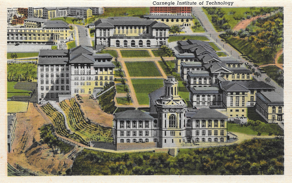
PittsburghIsCool2-CarnegieInstituteofTechnology

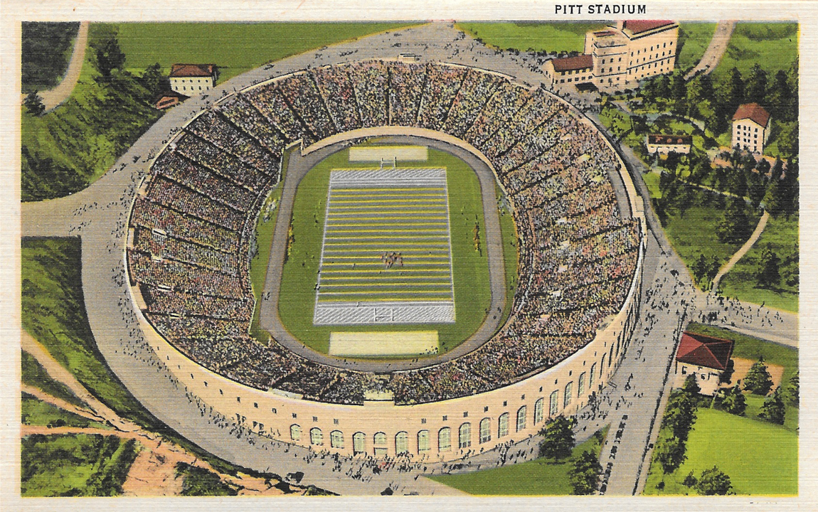
PittsburghIsCool3-PittStadium

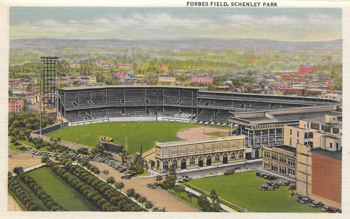
PittsburghIsCool4-ForbesField

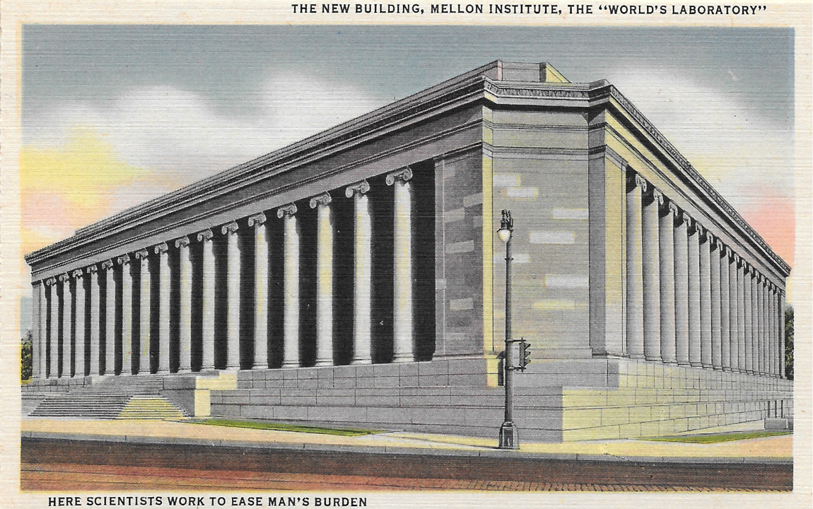
PittsburghIsCool5-MellonInstitute

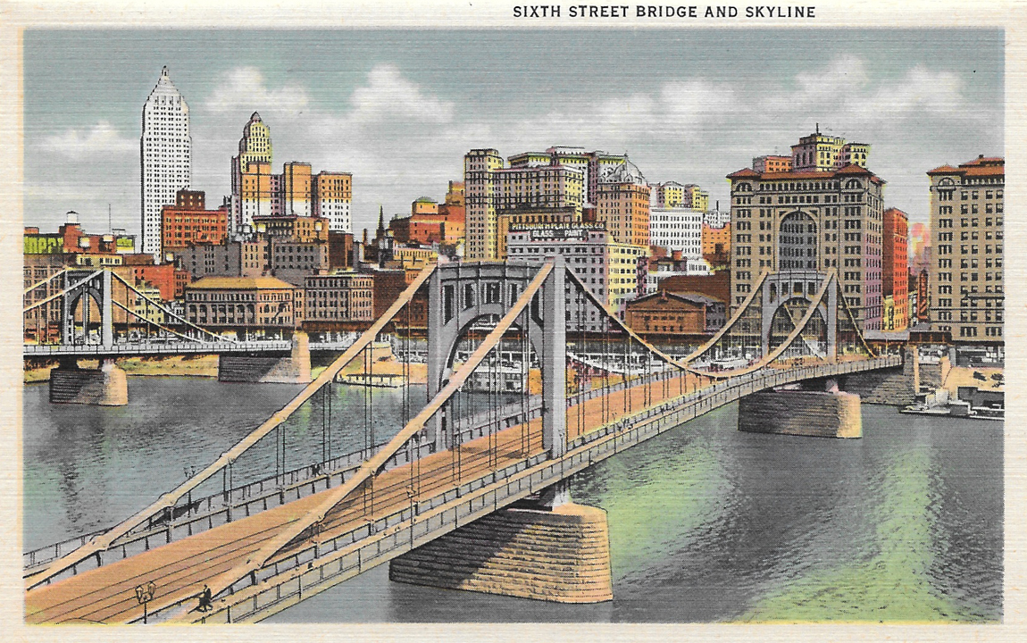
PittsburghIsCool6-SixthStreetBridge

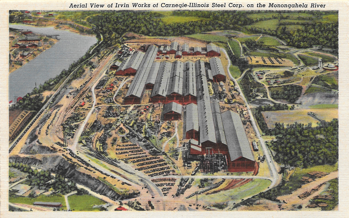
PittsburghIsCool7-IrvinWorks

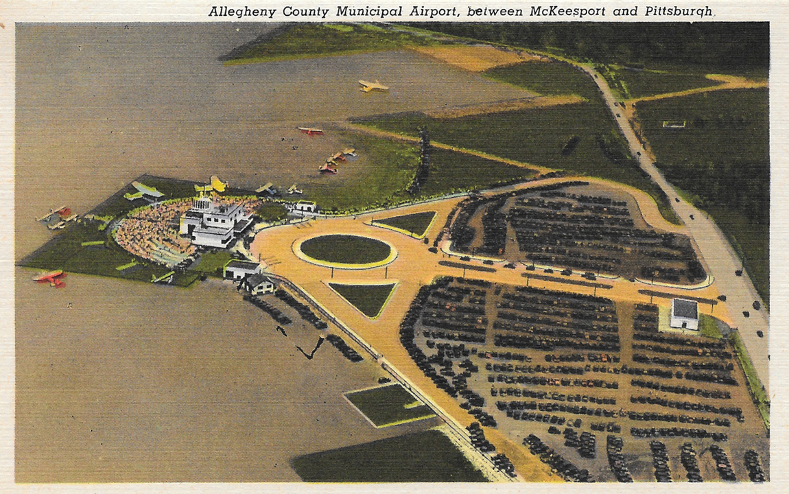
PittsburghIsCool8-Airport

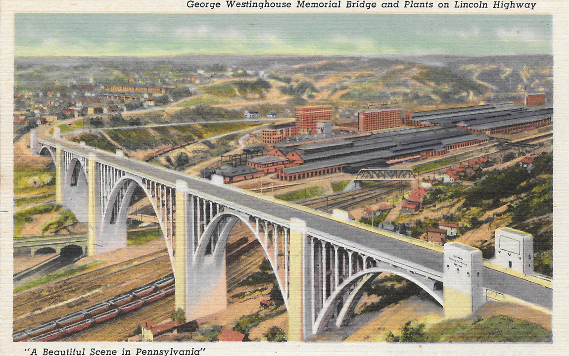
PittsburghIsCool9-GeorgeWestinghouseBridge

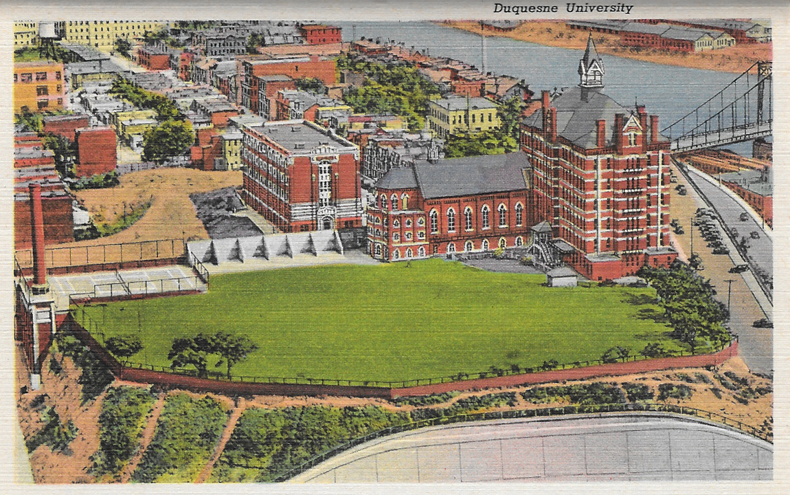
PittsburghIsCool10-DuquesneUniversity

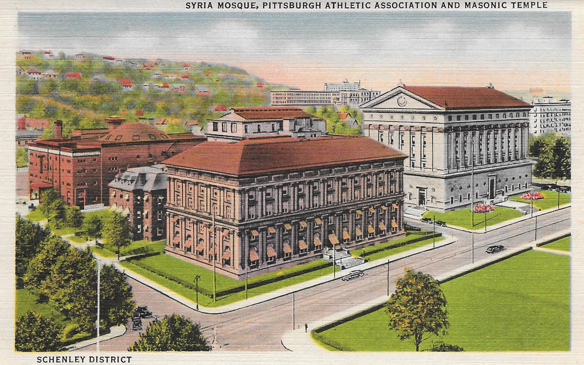
PittsburghIsCool11-SyriaMosque

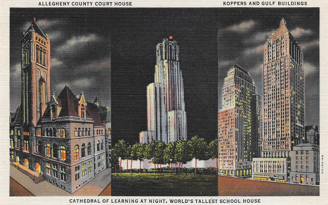
PittsburghIsCool12-Trifecta

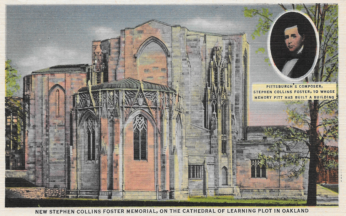
PittsburghIsCool13-FosterMemorial

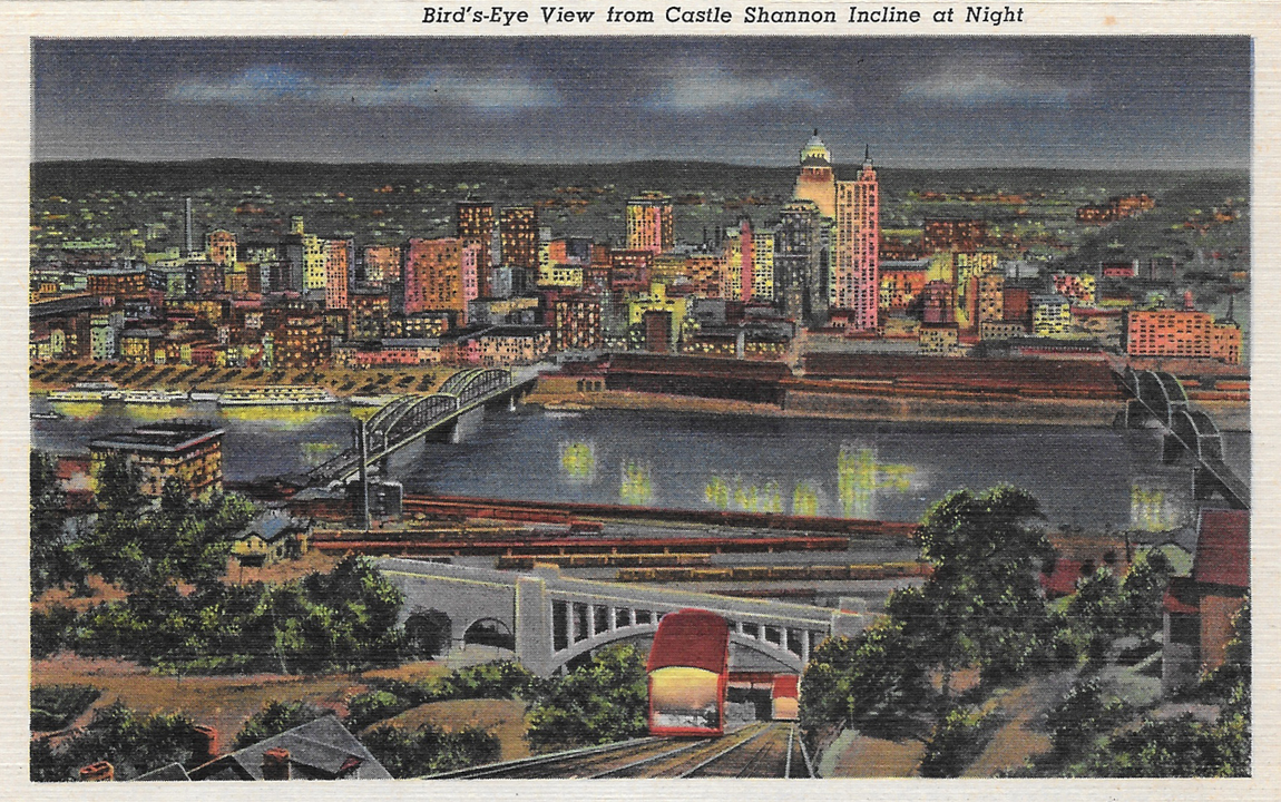
PittsburghIsCool14-InclineView

PittsburghIsCool15-LibertyBridge

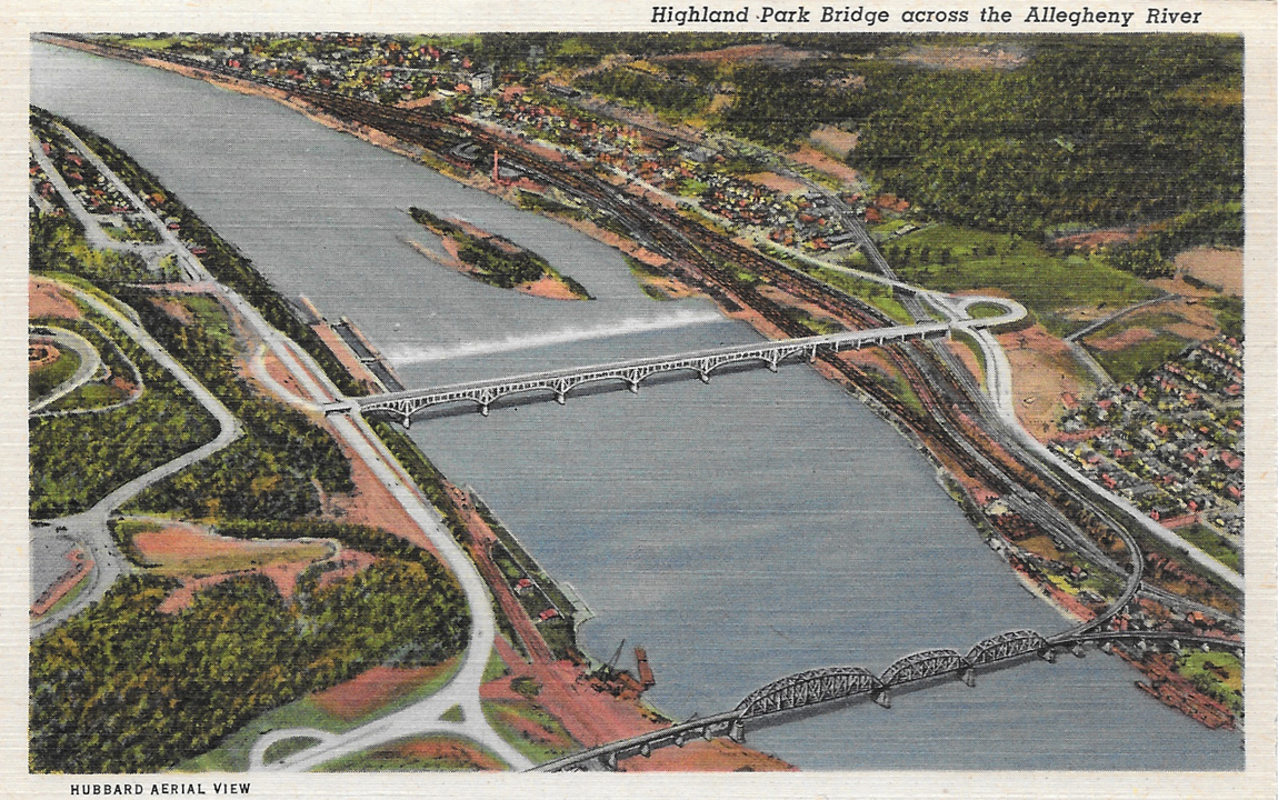
PittsburghIsCool16-HighlandParkBridge

PittsburghIsCool17-Planes

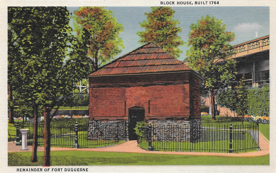
PittsburghIsCool18-FortDuquesne

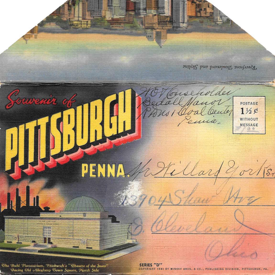
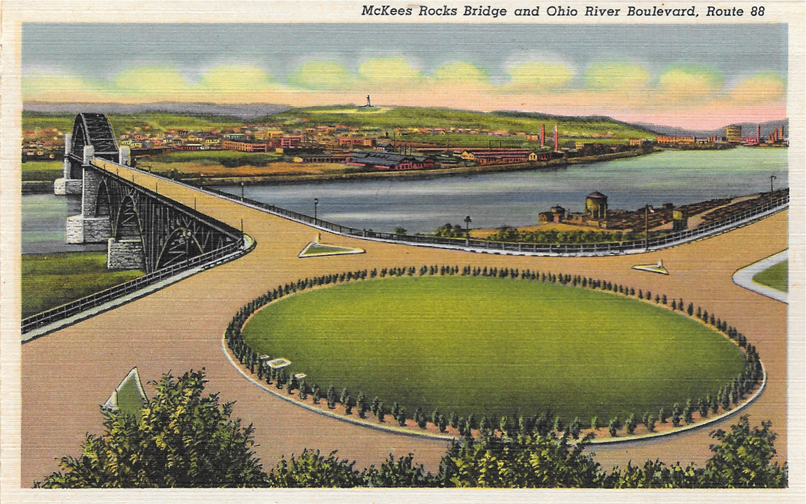
While perhaps not as exciting as my other Pittsburgh postcard collection, this is still a pretty cool set. It's not as exciting because 1.) It's newer (from 1941, vs. the other one, from 1914) and 2.) Mark bought it on Etsy for my birthday.

However, it does include photos featuring some of the city's world-class charm, including a few of the city's many bridges, my college alma mater, Duquesne University. That's also where Mark and I met. :)

It is sorta like the other set, in that it's according style, with all the postcards connecting to one another, and postcard photos are printed on both sides.

That first postcard threw me off a bit, because there totally aren't any traffic circles here now. And I'm so thankful for that, because I think I have a heart attack every time I drive through one of those.

Tuesday, September 23, 2014

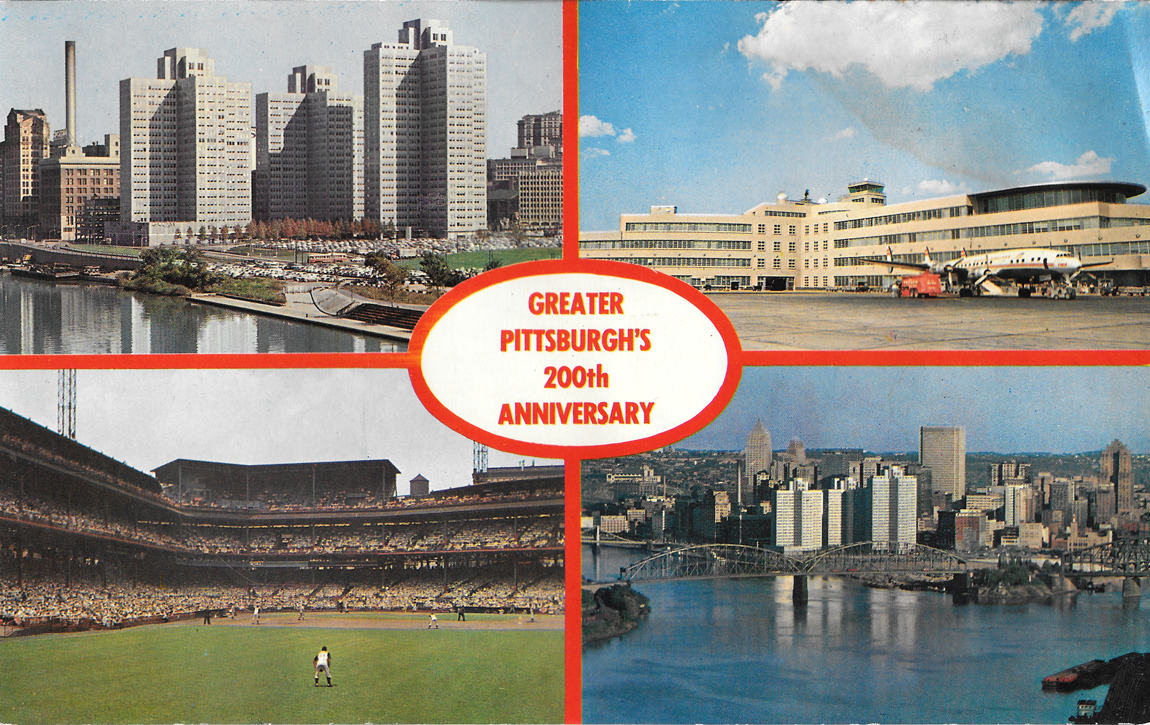
Pittsburgh 200th

Postcard&LetterFindsfromRogers-Scanned2014-07-05-28

Pittsburgh's bicentennial year was in 1958. I know this because the 250th anniversary was celebrated in 2008. Sad but true. I love that Pittsburgh is an older city. I think that's where it gets a lot of its charm. The history is rich. But I guess, compared to most European cities, Pittsburgh is still fairly young.

This postcard in particular is about double the standard size, and was a little beat up, but thought was worth having, if for nothing else, to simply have yet another Pittsburgh postcard. :)

There's still been so much growth since then, too.

Tuesday, July 29, 2014

The Mon has Mystique

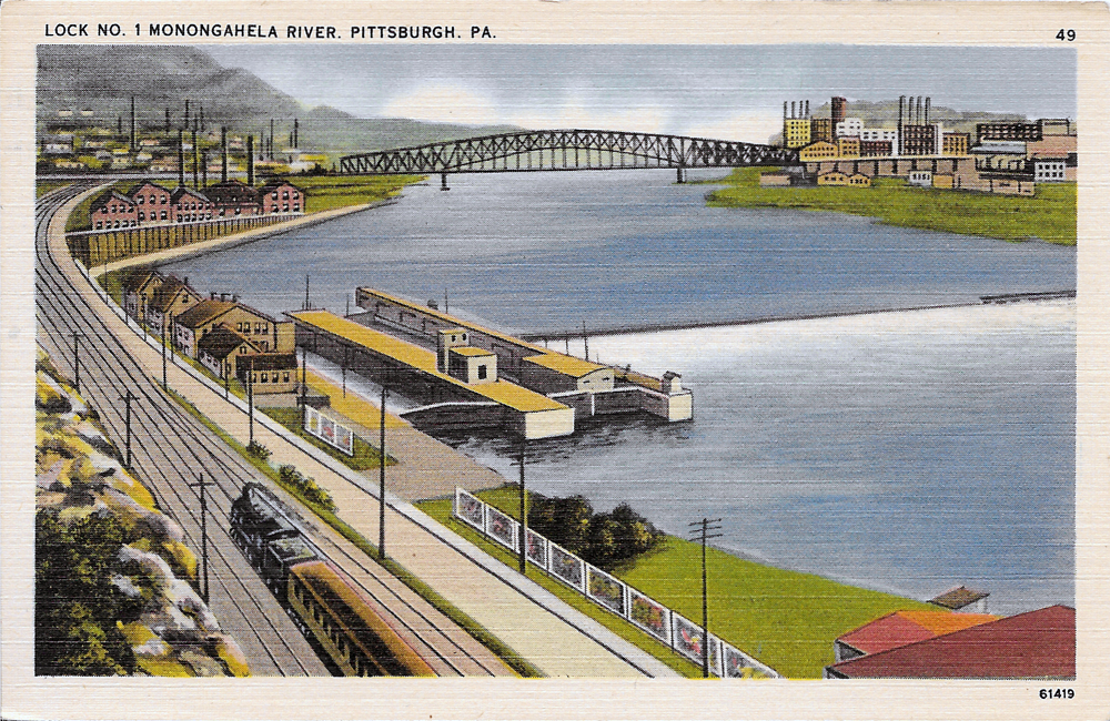
TheMon

I found this postcard during our Cleveland trip a few weekends ago, at Sweet Lorain.

From what I've learned about postcards over the past few months, this card was printed between the 1930s and 1951, because of its white border, the contrasting colors, and the linen finish. I know it was printed before 1952, when stamp cost was raised to two cents instead of a penny.

I'm not even exactly sure of the location, since I'm pretty sure Lock No. 1 along the Monongahela (often called the Mon) no longer exists.

Regardless, I know the city looks nothing like this now. My guess is this was taken from South Side or Mt. Washington. The current Station Square is on distant left, where a booming railroad station once stood, downtown on the right, with what is now Smithfield Street Bridge connecting them.

This postcard was published by the Pittsburgh News Company, and has no description of the scenery.

Even though a lot of aspects of this card remain mysterious, I'm glad I was able to add a few more Pittsburgh cards to my collection.

The image actually makes me think of this place in South Side, off a running trail that runs parallel to the river. There is this huge cement slab, about 10 by 15 feet, hidden behind bushes off the trail that sits along the river. A lot of people called it the slab. It's kind of like a peaceful little place, where you can have a great view of the city, witnessing chaos and craziness, but be in complete peace because it was isolated from everything. I haven't been there in forever, probably since college, but maybe I can seek it out again.

So who's willing to talk about their secret place? ;)

Tuesday, July 8, 2014

Pittsburgh: 100 Years Past

BookletFront

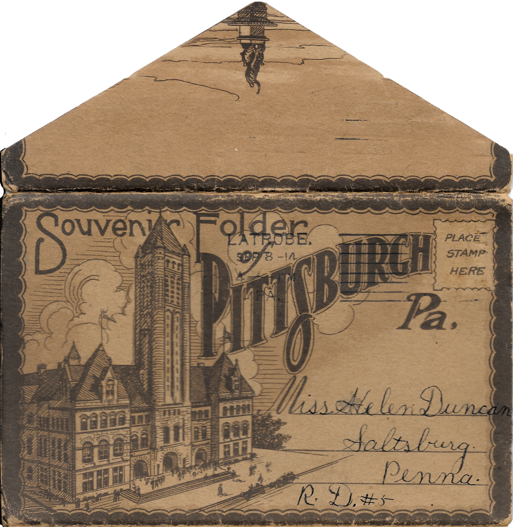
I'm still stunned I found this at Rogers Community Auction over the weekend. It's a postcard booklet, with locations printed on the front and back. The postmark is dated September 1914. I paid $5 for it.

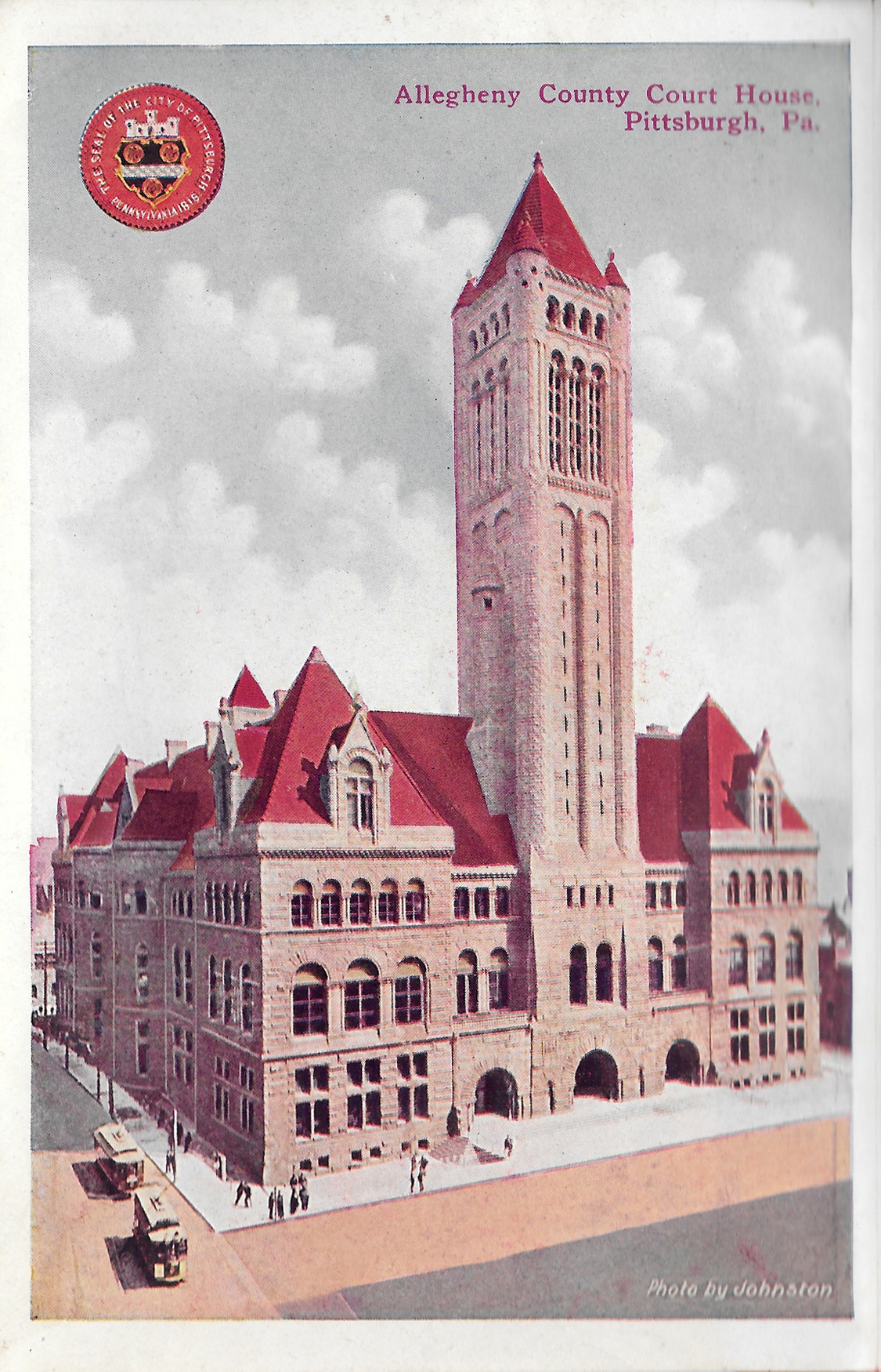
Postcard1-AlleghenyCountyCourthouse

Allegheny County Courthouse, Downtown Pittsburgh

Postcard2-NewOliverBuilding

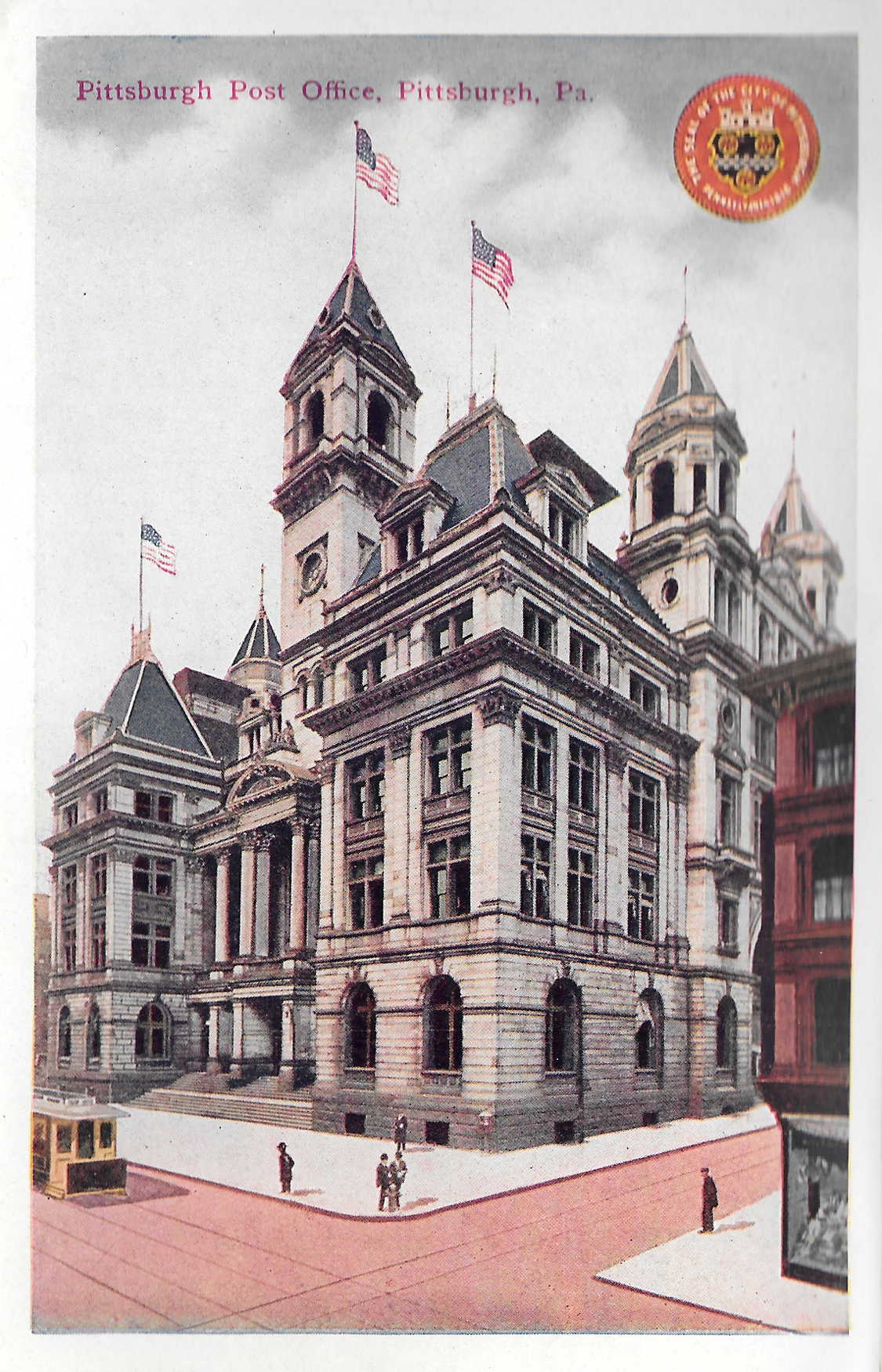
Postcard3-PittsburghPostOffice

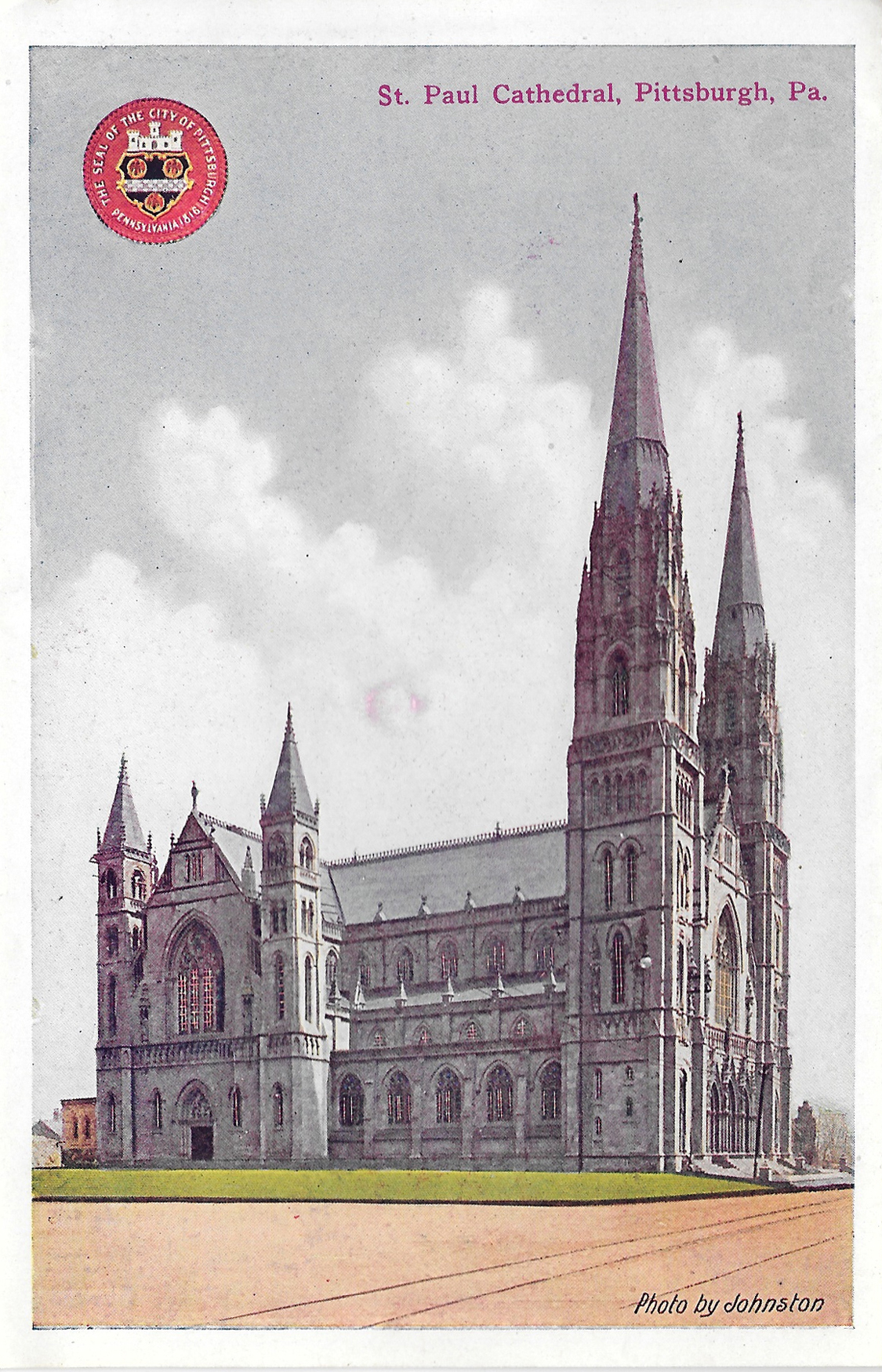
Postcard4-StPaulCathedral

St. Paul Cathedral, Oakland

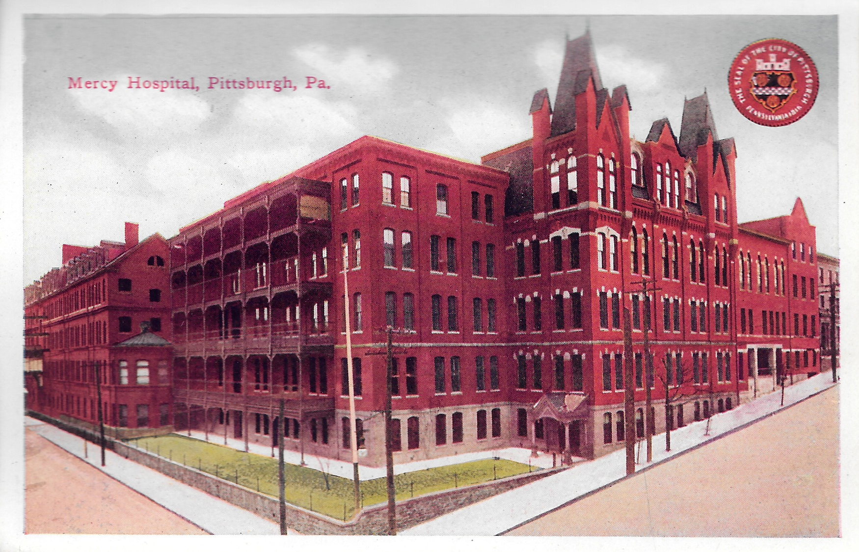
Postcard5-MercyHospital

Mercy Hospital, Uptown

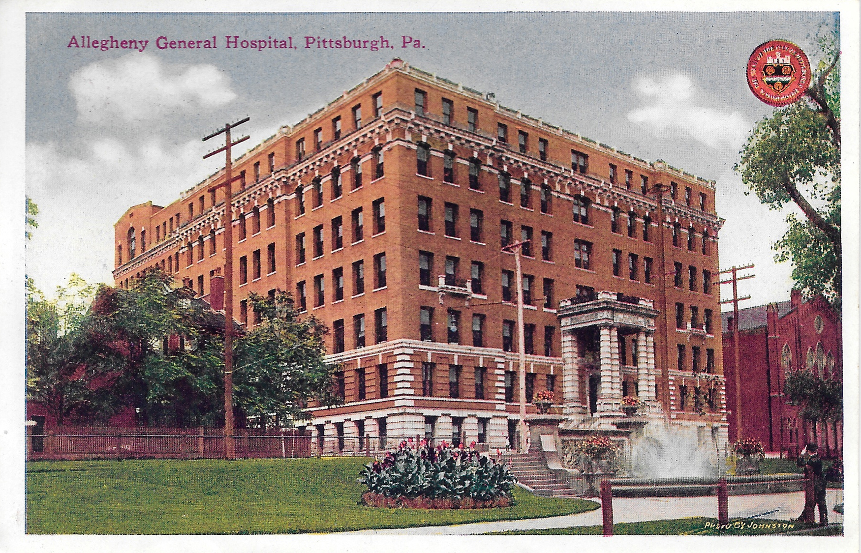
Postcard6-AlleghenyGeneralHospital

Allegheny General Hospital, North Side

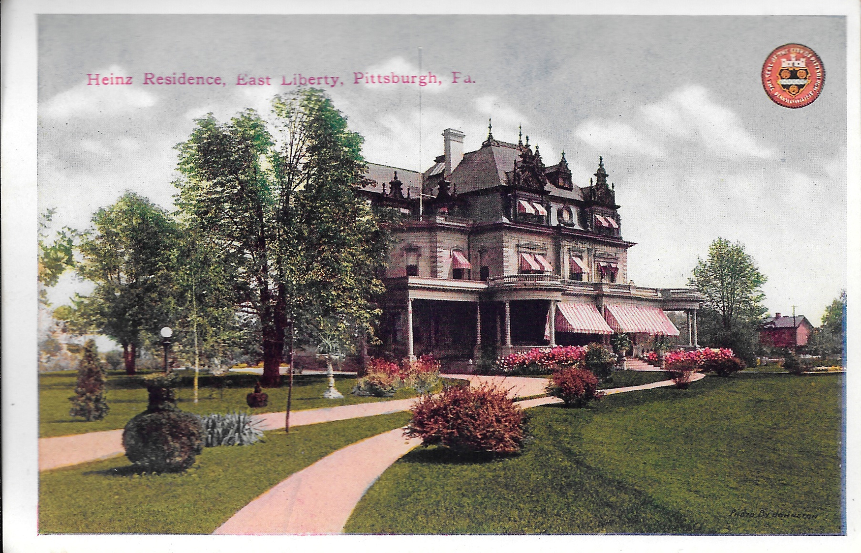
Postcard7-HeinzResidence

Heinz Residence, East Liberty

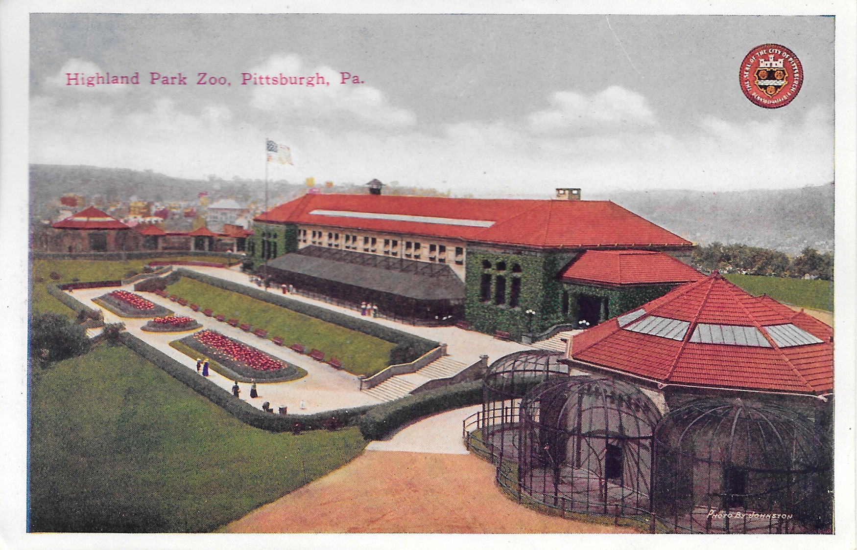
Postcard8-HighlandParkZoo

Highland Park Zoo, Highland Park (Now just the Pittsburgh Zoo)

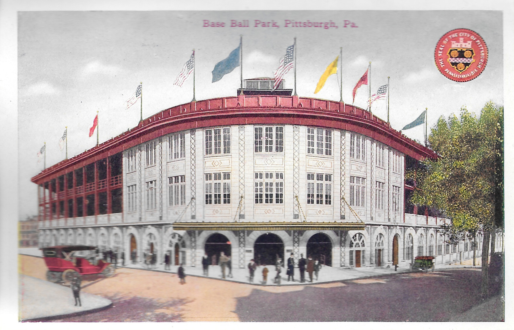
Postcard9-BaseballPark

Baseball Park, aka Forbes Field, Oakland

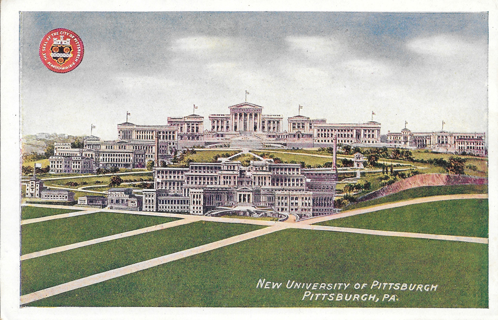
Postcard10-NewUniversityofPittsburgh

"New" University of Pittsburgh, Oakland

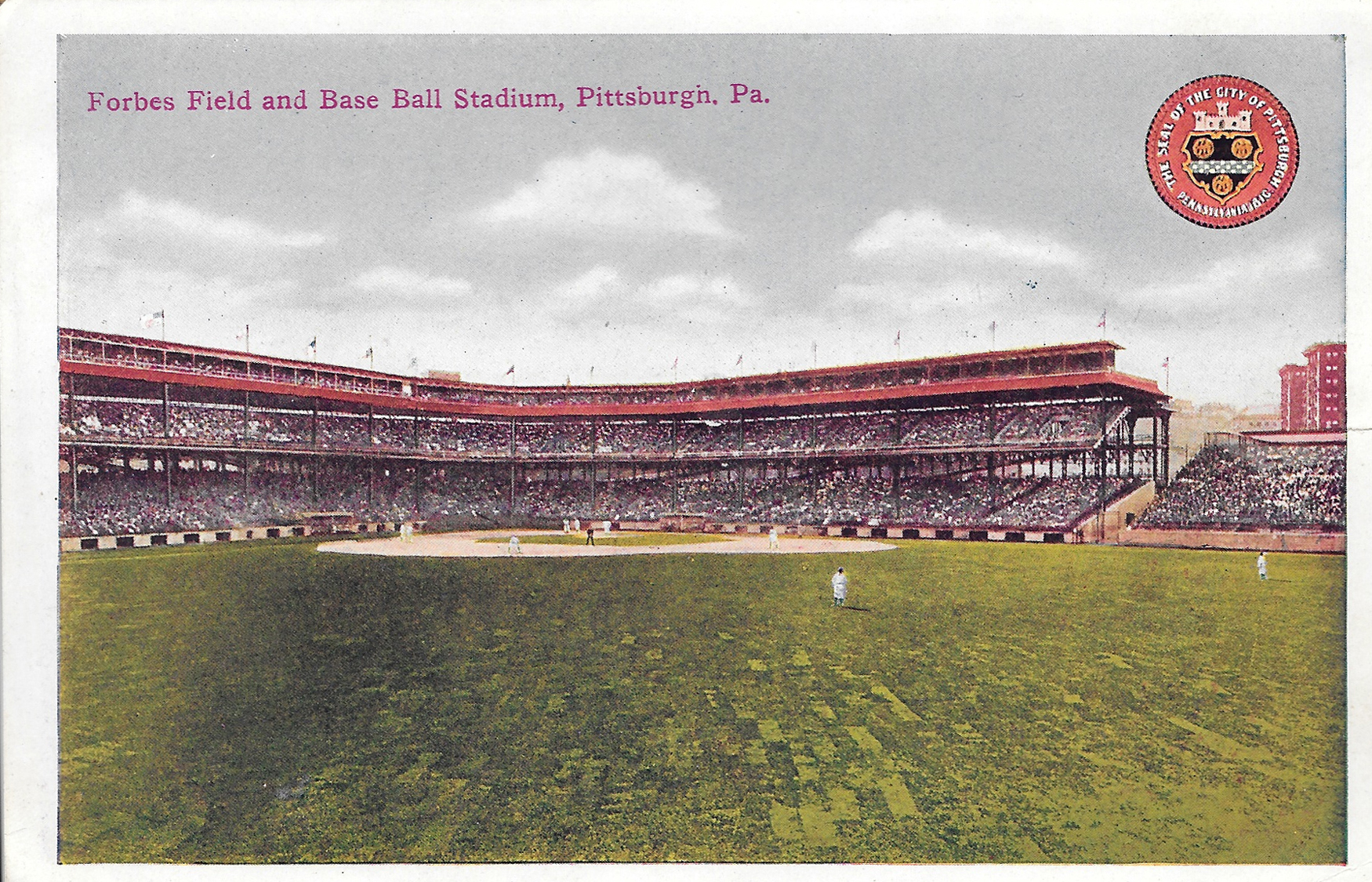
Postcard11-ForbesField

Forbes Field, Oakland

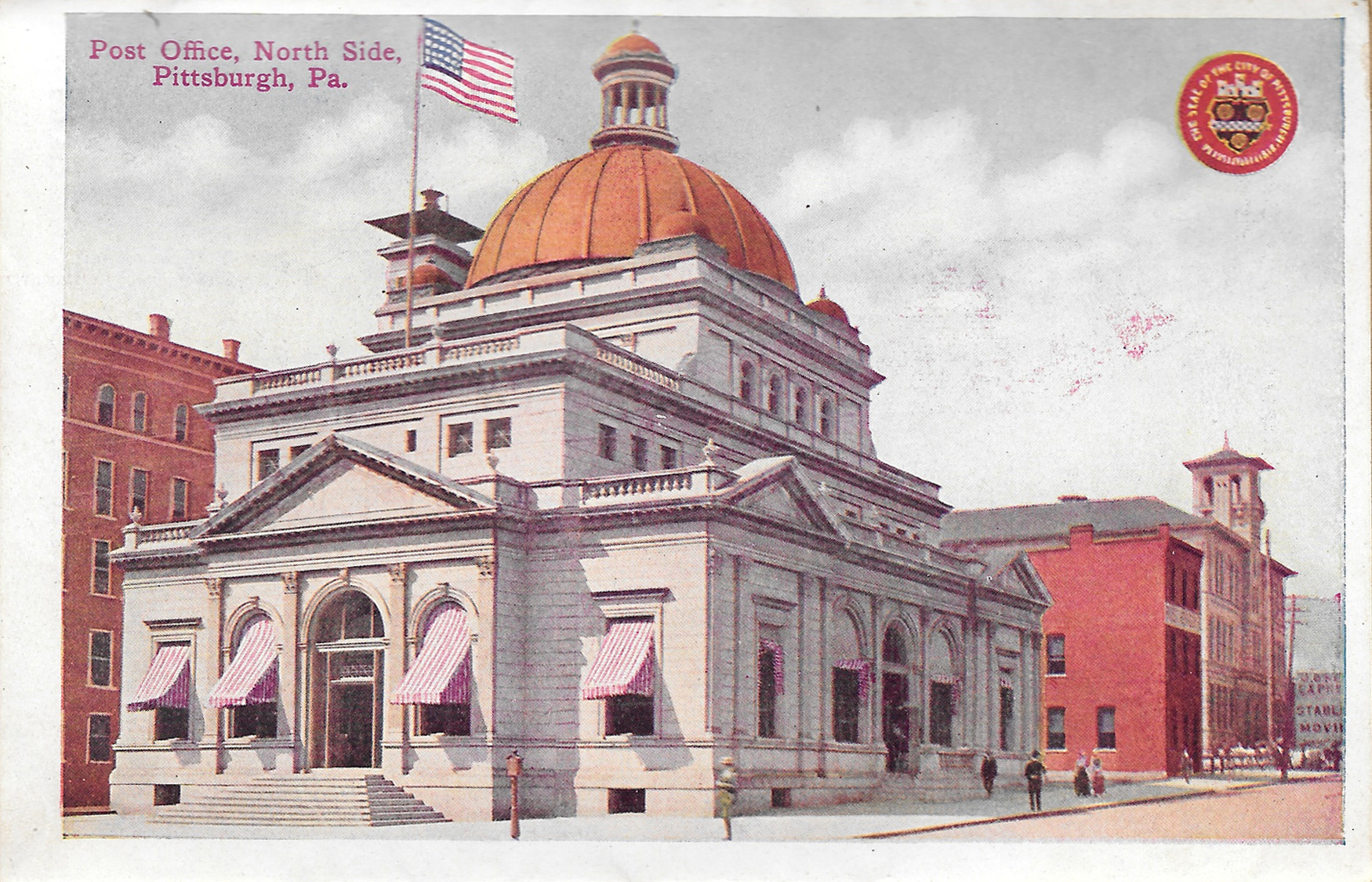
Postcard12-PostOfficeNorthSide

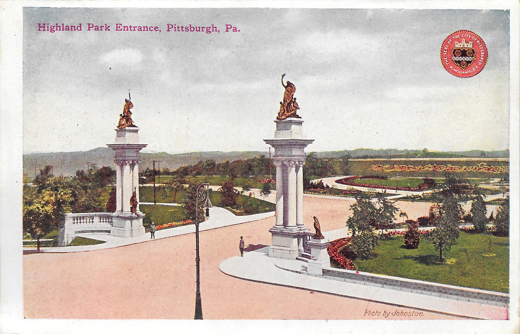
Postcard13-HighlandParkEntrance

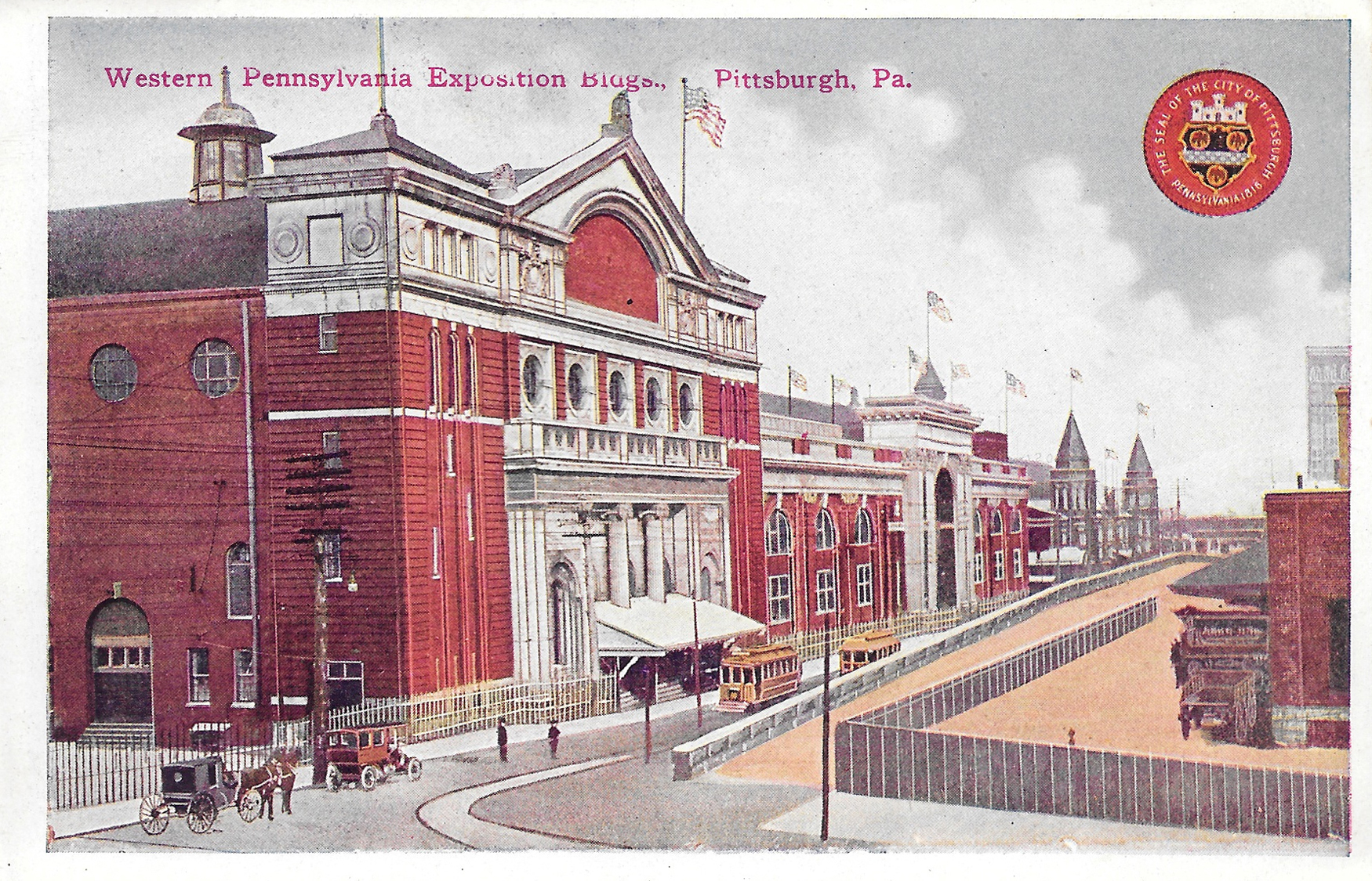
Postcard14-WesternPaExpositionBuildings

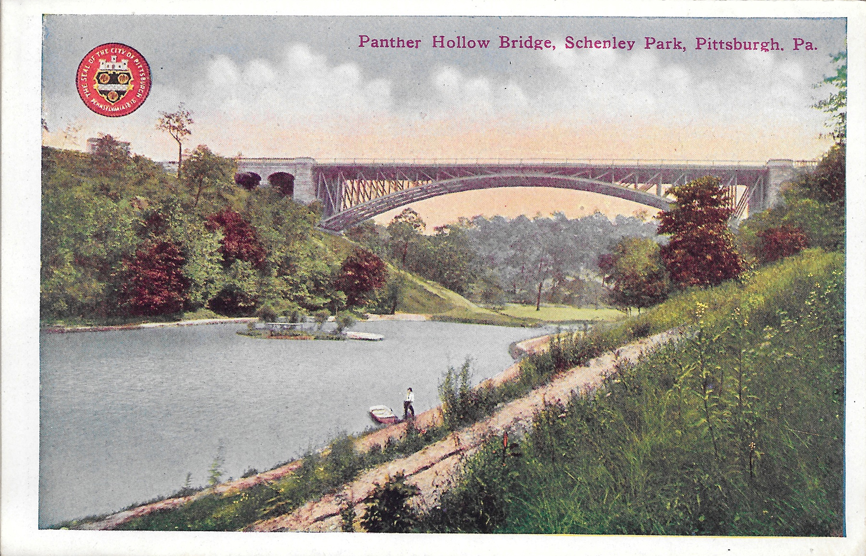
Postcard15-PantherHollowBridgeSchenleyPark

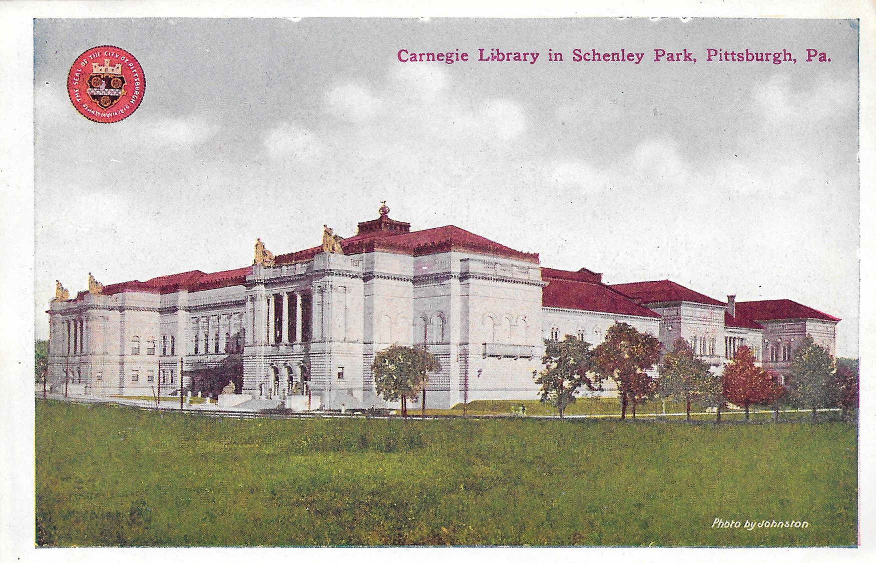
Postcard16-CarnegieLibrarySchenleyPark

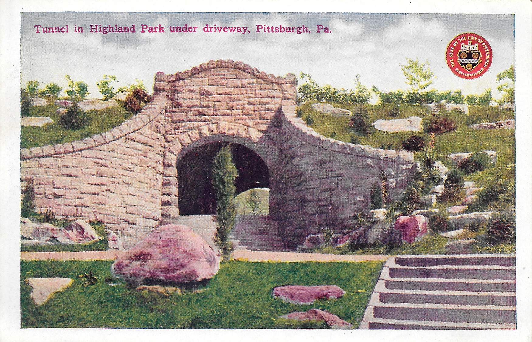
Postcard17-TunnelInHighlandPark

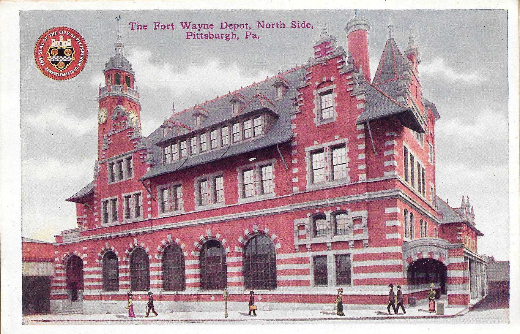
Postcard18-TheFortWayneDepotNorthSide

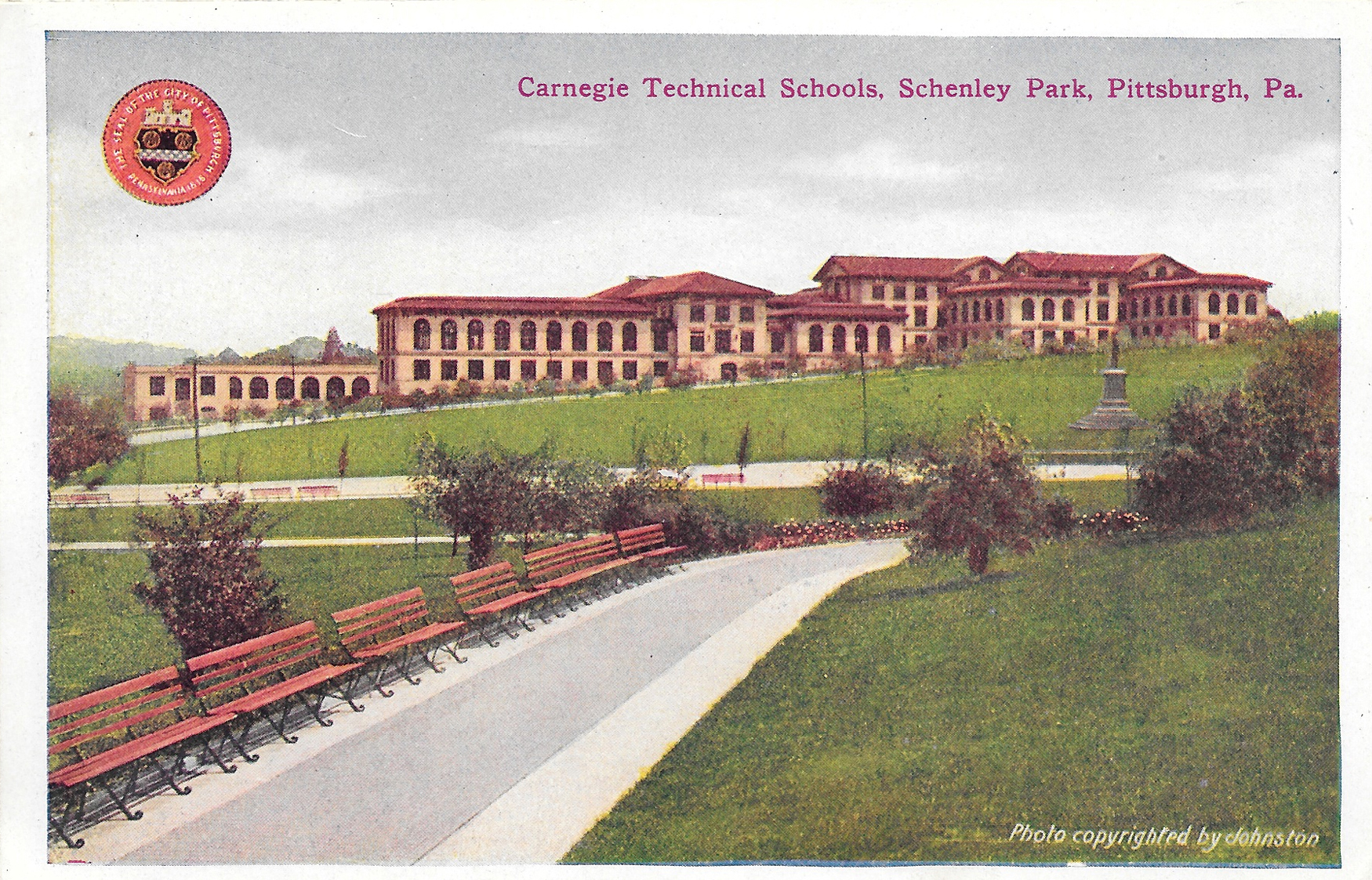
Postcard19-CarnegieTechnicalSchoolsSchenleyPark

Carnegie Technical School, Squirrel Hill (Now Carnegie Mellon University)

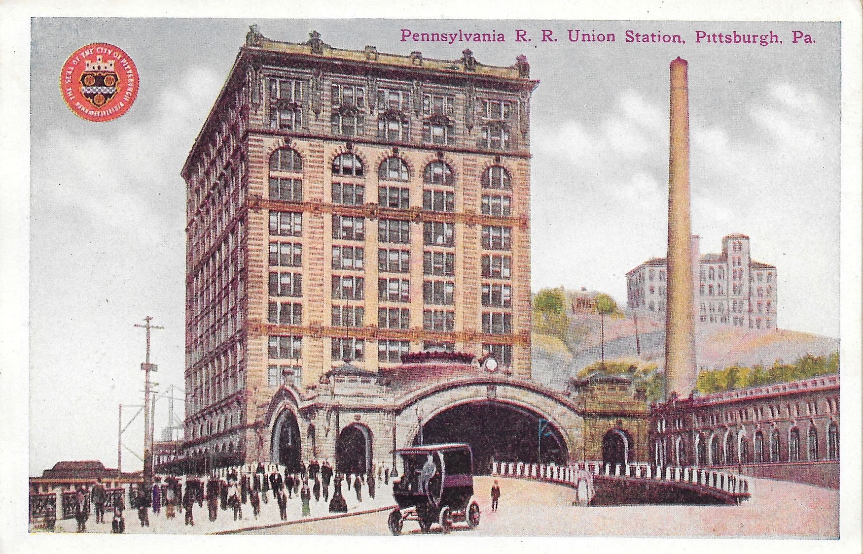
Postcard20-PennsylvaniaRRUnionStation

Pennsylvania Railroad Union Station, Downtown Pittsburgh

Postcard21-HotelSchenley

Hotel Schenley, Oakland (Now the William Pitt Union at the University of Pittsburgh)

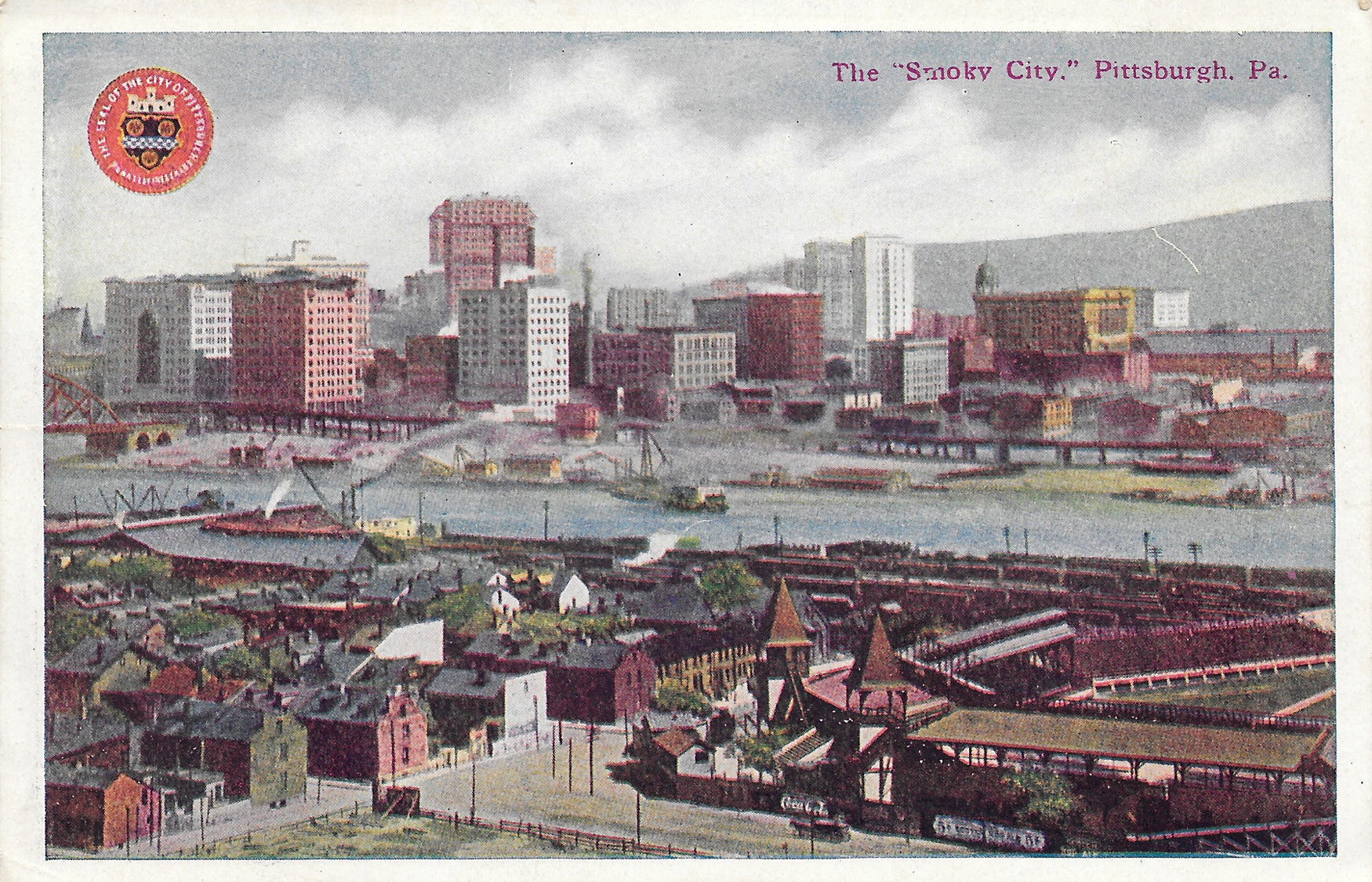
Postcard22-TheSmokyCity

There were a few other ways to confirm this is from 1914.

First, Pittsburgh is spelled with an H on these. From the 1890s until 1911, the city was spelled Pittsburg. Also, there are pictured of Forbes Field and Exposition Park in this collection. There was only a small time frame when both existed at the same time: Forbes Field was built in 1909; Exposition Park (pictured in the "Smoky City" photo) was used until 1915.

It's kind of cool that most of the buildings, with the exception of Forbes Field and the Exposition buildings, are still in existence. Not sure about the fate of the Fort Wayne Depot and Pittsburgh Post Office buildings pictured. Other buildings, while still standing, have changed significantly or have been repurposed. For instance, as I mentioned above, the Schenley Hotel is now the student union building at Pitt. Also, the Allegheny Post Office, in North Side, now houses the Children's Museum of Pittsburgh.

One other thing I did: I searched the name Helen Duncan, of Saltsburg, since this booklet was addressed to her. She was born in September 1904, so she received this booklet right around her 10th birthday. And I'm guessing she held onto it for a long time, or collected them. The seller at Rogers had a few other booklets featuring other cities, so she could've collected them. I didn't see whether they were all addressed to her or not.

Lastly, the booklet had postcard photos on the front and back, instead of the traditional open space to write a note. And they were all attached accordion style. That's something I've never seen before.

Have you ever been curious as to what your hometown looked like 100 years ago? How much have things changed over the last century?